The Jath block is one of the water stressed block situated in the eastern part of Sangli district bordering Karnataka state on southern and eastern side. Jath block, having...
Download Counter = 9
The Warora block of Chandrapur district has been taken up in NAQUIM 2.0 in AAP 2023–24, as shown in Figure 1.4. The study area covers three number of watersheds namely 4E4A5,...
Download Counter = 10
Ujjain district is situated towards the western part of Madhya Pradesh extending between the North latitudes 22° 49' 4ʺ and 23° 45' 10ʺ and between the East longitudes 75° 08'...
Download Counter = 12
The study area falls under the survey of India toposheet 64F/2, 64 F/6, 64 F/9 (Dindori), 64 F/10 (Anuppur) and is situated partly in the Anuppur and Dindori district of the...
Download Counter = 4
Bhopal urban, spanning over an area of about 416 Sq km, lies in the southern part of the Bhopal district. It comes under administrative boundary of Phanda block and lies betwe...
Download Counter = 13
The NAQUIM study area, covering approximately 945 square kilometers, is situated in the water-stressed Alot block in the western part of Madhya Pradesh. Geographically, the bl...
Download Counter = 5
The rainfall occurrence in the country is monsoon dependent and in large part of the countryrain fall is limited to about three months period ranging from around 20 to 30 day...
Download Counter = 9
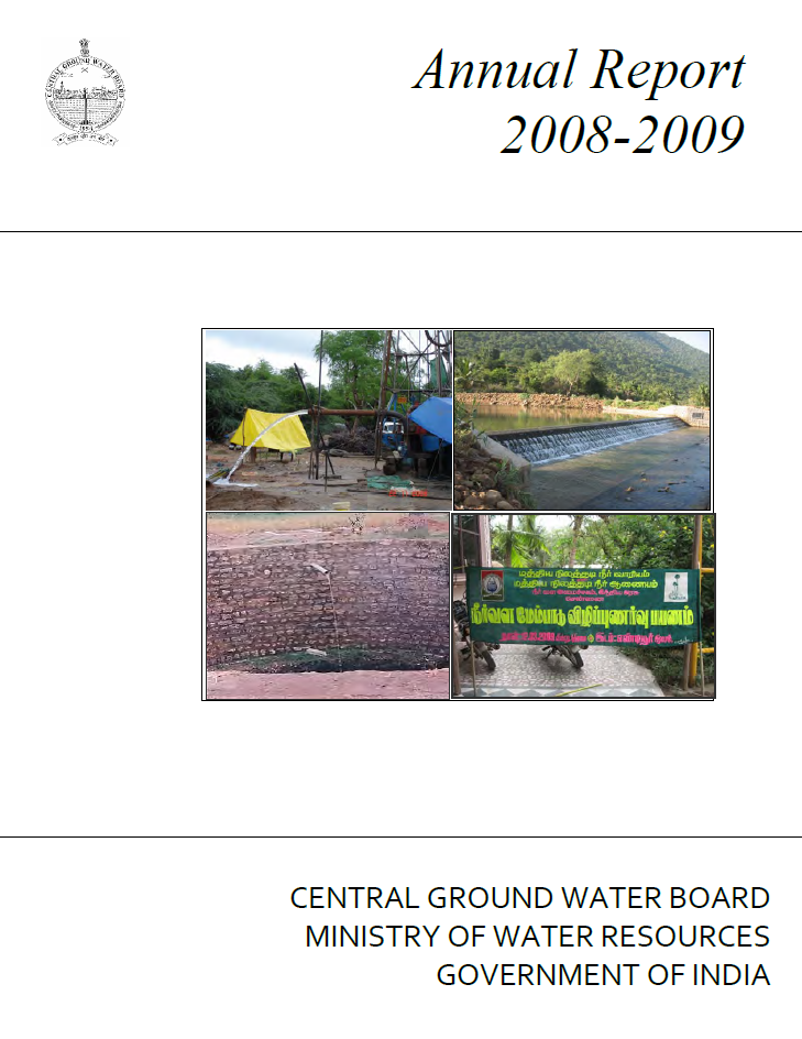
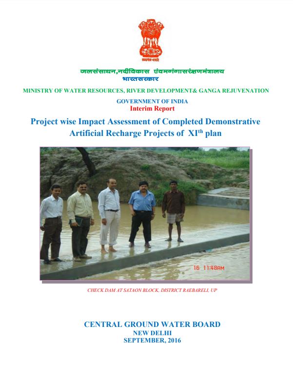
Artificial recharge to ground water is defined as the recharge that occurs when the natural pattern of recharge is deliberately modified to increase recharge (ASCE 2001). In o...
Download Counter = 19
The speedy and uncontrolled usage of ground water has also created many problems. The intensive ground water development in many parts of the country has resulted in depletion...
Download Counter = 26
Rain water harvesting is the technique of collection and storage of rain water at surface or in sub-surface aquifers, before it is lost as surface run-off. The augmented resou...
Download Counter = 18
Introduction, Tehsil wise Rain Water Harvesting Structures in NCT Delhi, Technical design of Roof Top Rain Water Harvesting and Artificial Recharge to Ground Water
Download Counter = 20
Rain water harvesting is the technique of collection and storage of rain water at surface or in sub-surface aquifers, before it is lost as surface run-off. The augmented resou...
Download Counter = 16
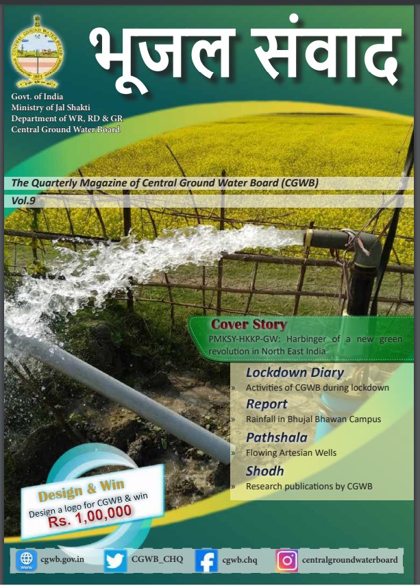
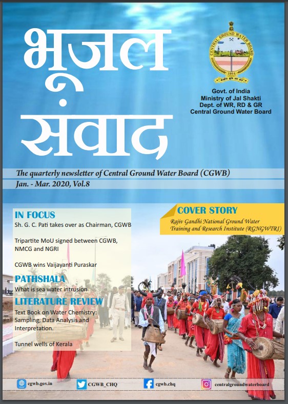
Quarterly Journal of Central Ground Water Board with the objective to disseminate information and highlight various activities and latest technical advances in the field of Gr...
Download Counter = 0
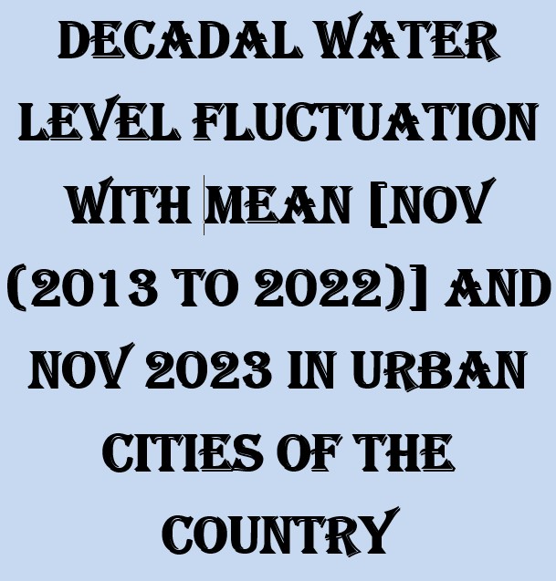
Depth to water Level and Distribution of Percentage of Wells for the Period of Nov, 2023 in Urban Cities of the Country
Download Counter = 36
Groundwater Flow Modelling and Aquifer vulnerability assessment studies in Yamuna–Krishni Sub-basin, Muzaffarnagar District
Download Counter = 4
The aim of the assignment is to integrate various hydrogeological and hydrological data synthesized during National Aquifer Mapping Program (Naquim) and develop management pla...
Download Counter = 10
The projects studies were taken up with the aim of achieving the following objectives : Evaluation of the hydrogeological situation and quantification of the different compon...
Download Counter = 9
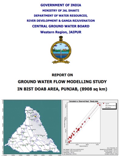
Punjab State is one of the most predominant agricultural region in the country. Ground water is major source of water for Agriculture, drinking/domestic and industrial sector...
Download Counter = 9
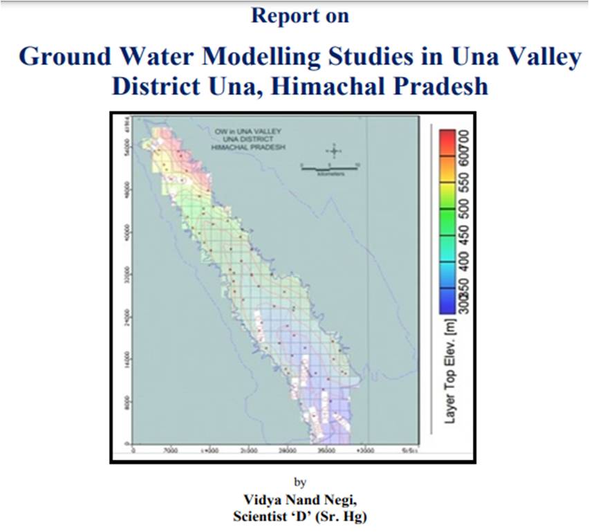
Numerical three-dimensional groundwater flow model was developed for the Una valley, District Una, Himachal Pradesh with the following objectives: • To simulate regional gro...
Download Counter = 7
Groundwater is an important resource so it must be managed prudently. However, there are several difficulties associated with understanding a groundwater system. Its invisibil...
Download Counter = 7
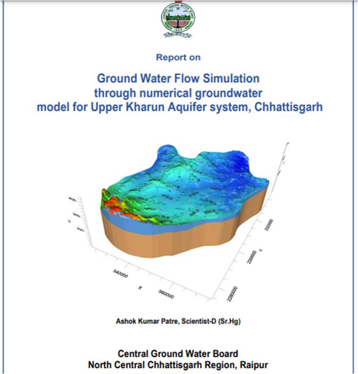
The upper Kharun sub basin covering an area of 2200 km was taken up during the 4 weeks Tailormade Training Program from 14th March 2018 to 6th April 2018 held at UNESCO, IHE,...
Download Counter = 20
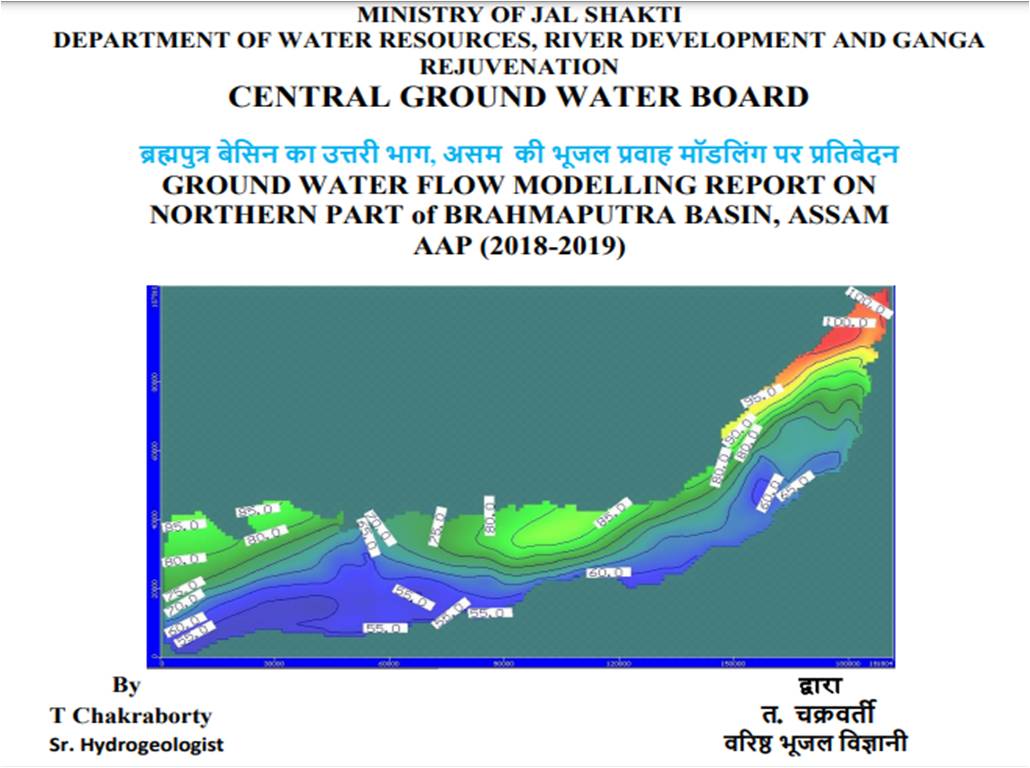
Three-dimensional mathematical models of regional groundwater flow are beneficial to the management of groundwater resources as they allow the approximation of the components...
Download Counter = 13
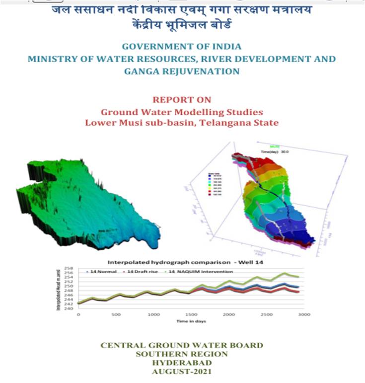
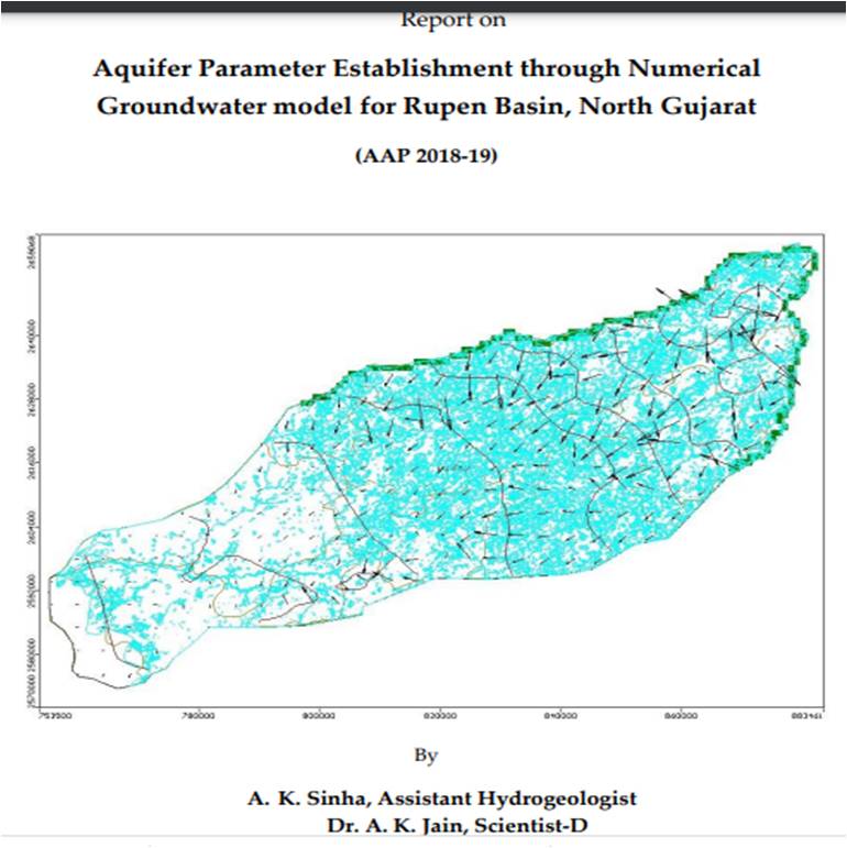
Ground water resources are under continuous stress to meet the increasing demands of rising population, industrial and agriculture growth. For sustainable management of ground...
Download Counter = 13
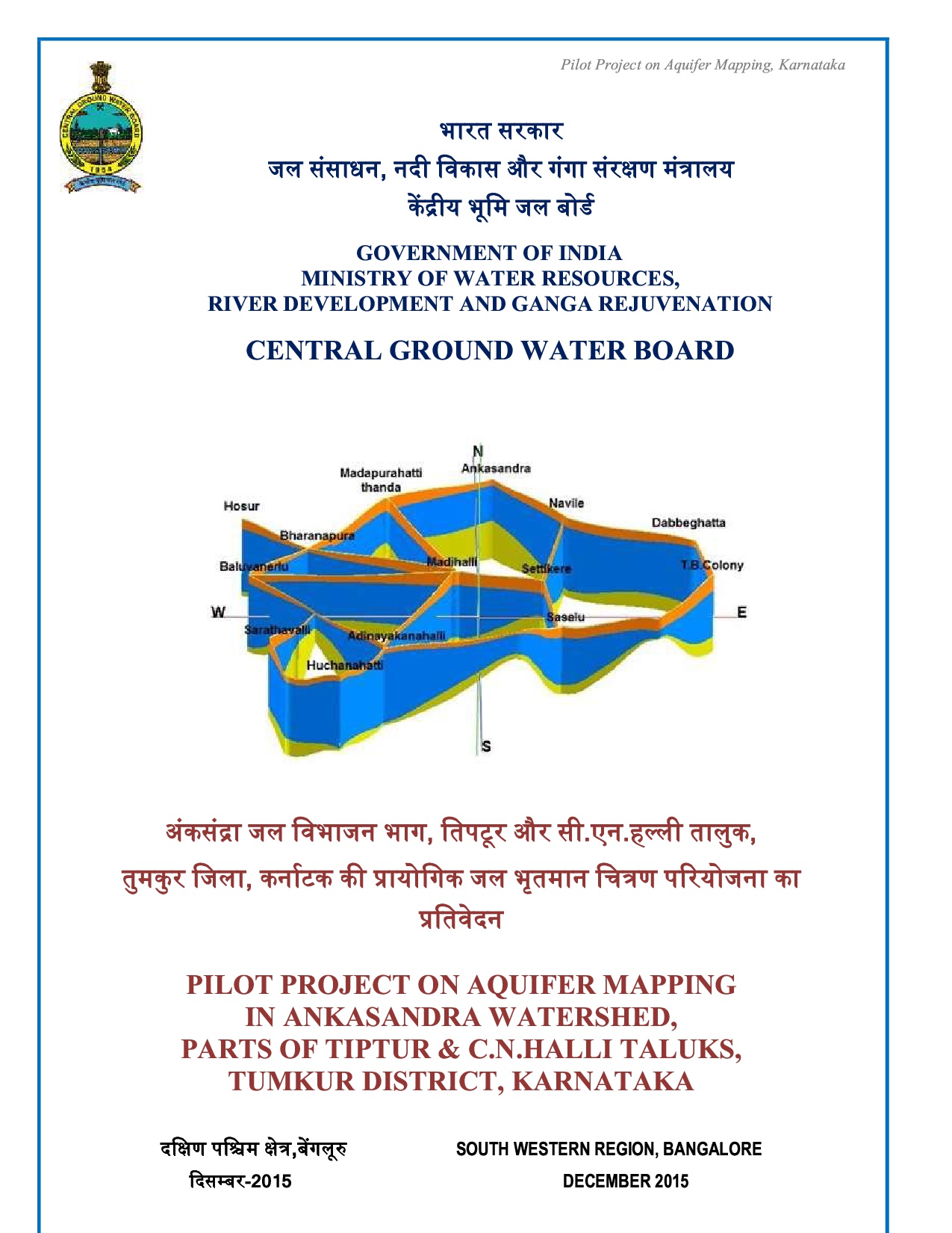
PILOT PROJECT ON AQUIFER MAPPING IN ANKASANDRA WATERSHED, PARTS OF TIPTUR C.N.HALLI TALUKS, TUMKUR DISTRICT, KARNATAKA
Download Counter = 7
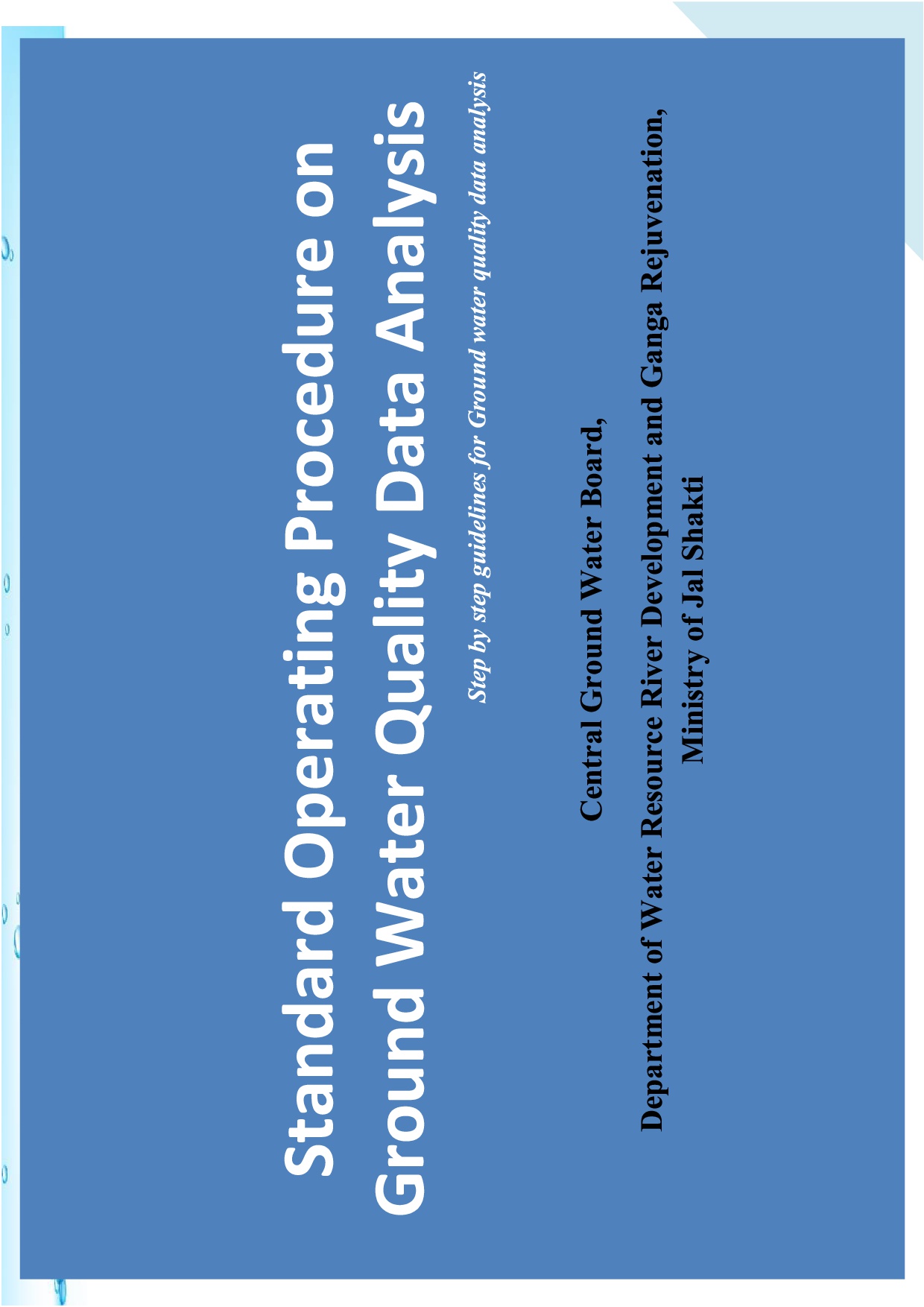
Standard Operating Procedure on Ground Water Quality Data Analysis-Step by step guidelines for Ground water quality data analysis
Download Counter = 9
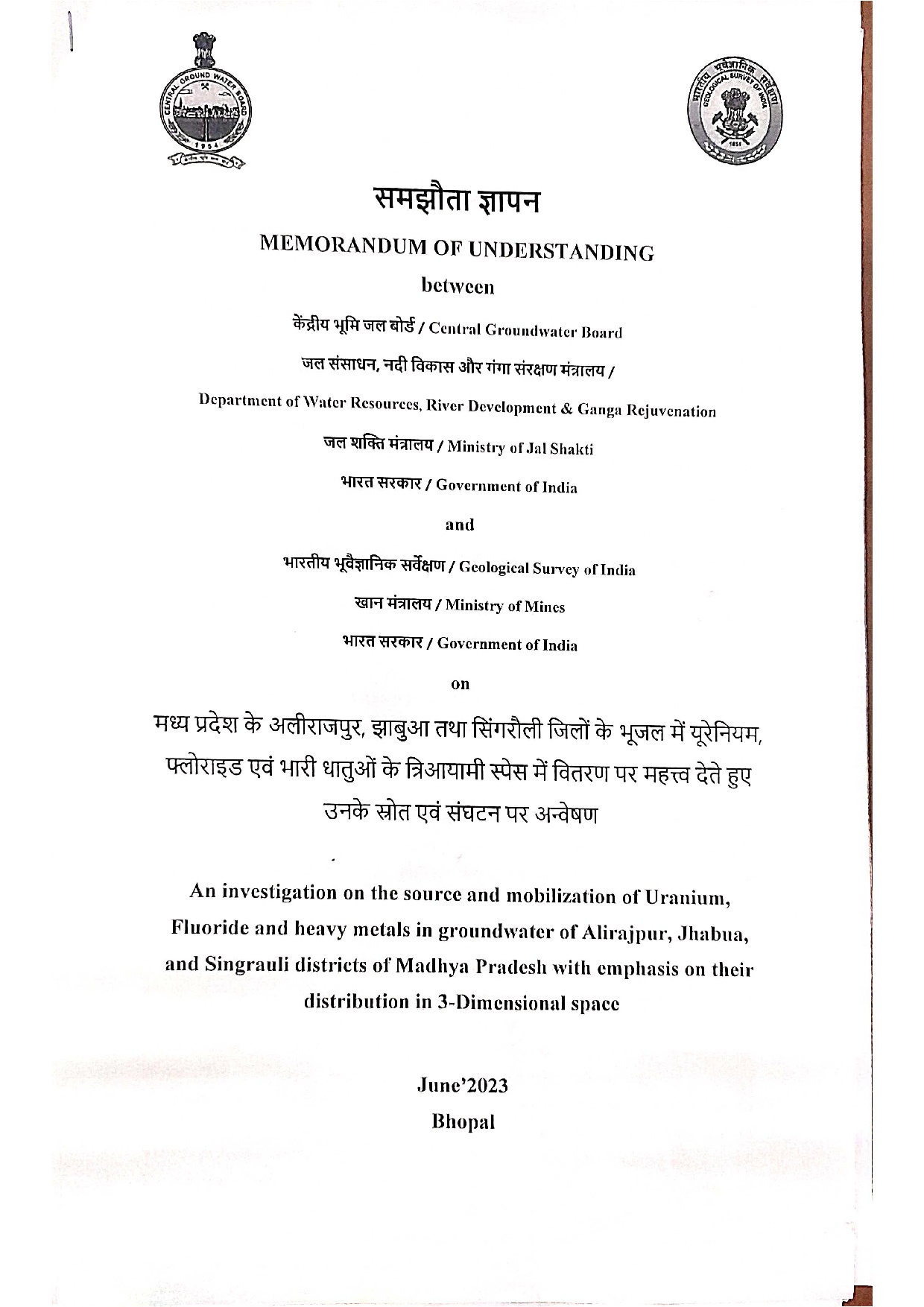
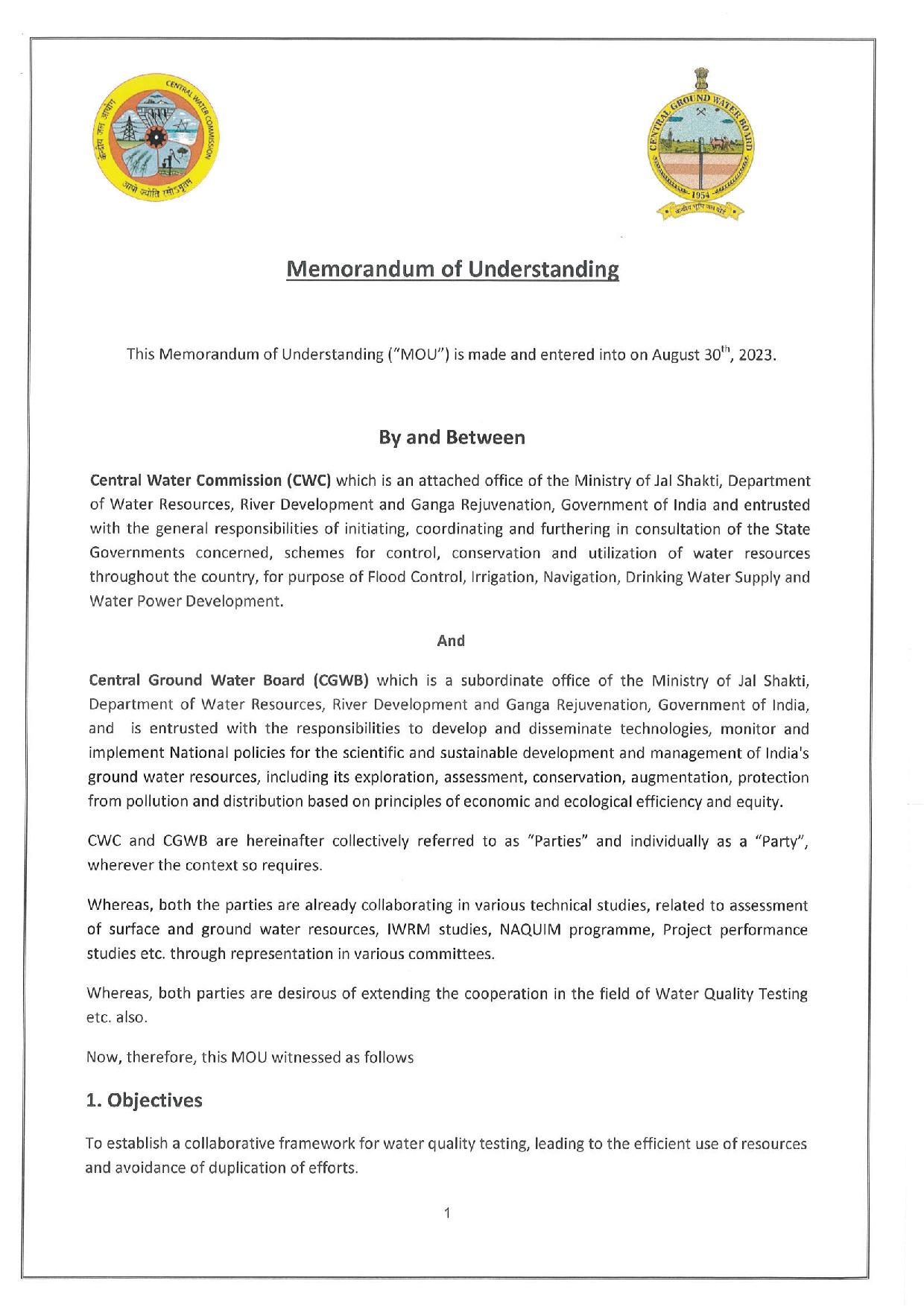
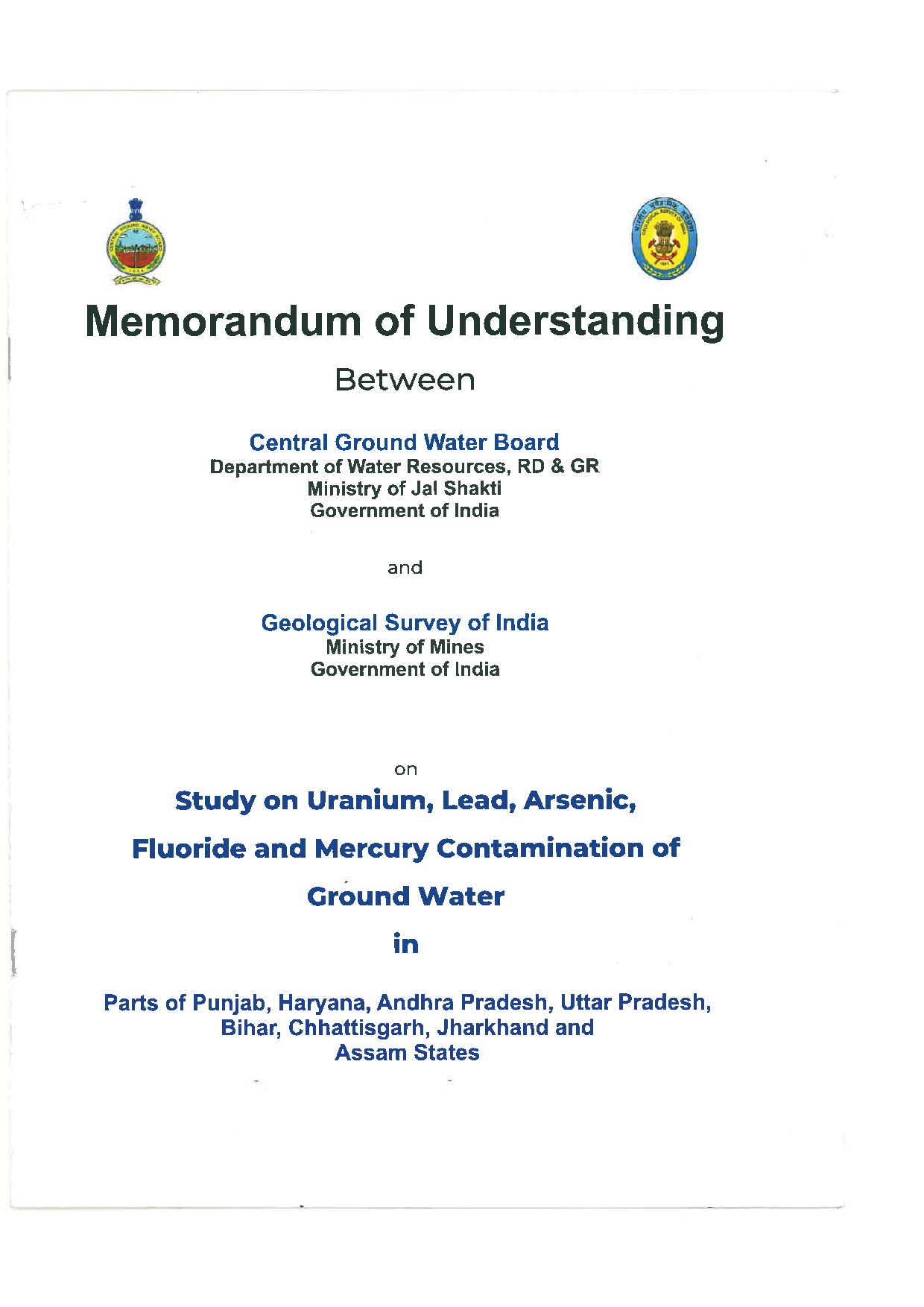
MOU-An investigation on source and mobilization of U, F and Heavy Metals in ground water of Alirajpur, Jhabua and Sigrauli districts of MP with emphasis on their distribution...
Download Counter = 0
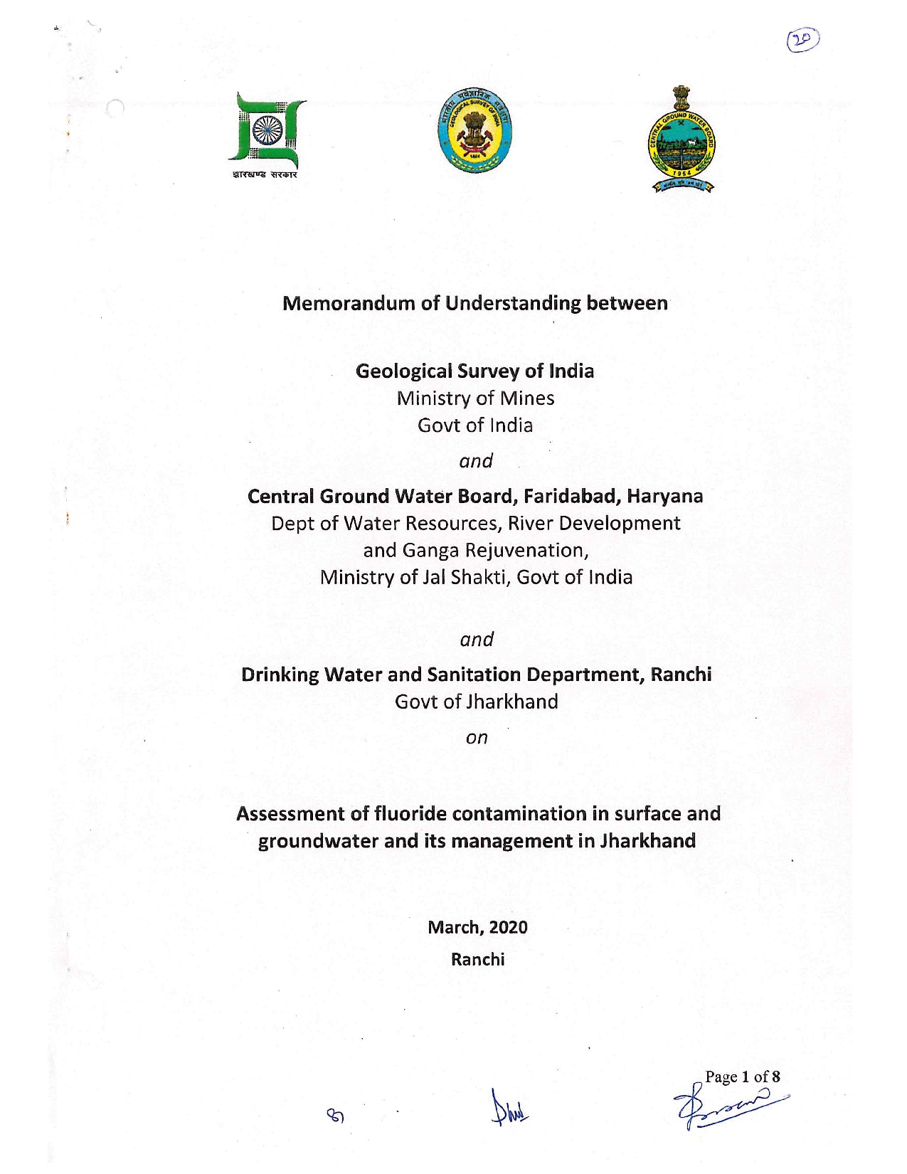
MoU between GSI, CGWB and DWS Dept. Ranchi for assessment of fluoride contamination in surface and ground water and its management in Jharkhand
Download Counter = 2
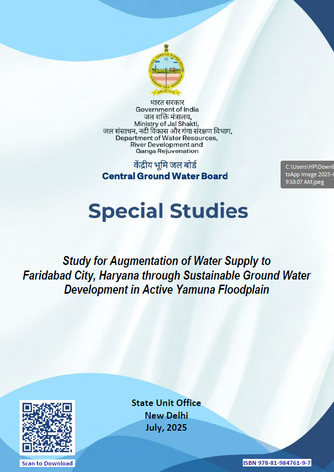
Study for Augmentation of Water Supply to Faridabad City, Haryana through Sustainable Ground Water Development in Active Yamuna Floodplain
Download Counter = 23
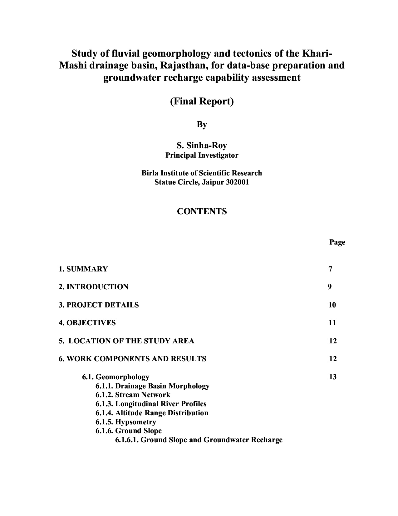
Study of fluvial geomorphology and tectonics of the KhariMashi drainage basin, Rajasthan, for data-base preparation and groundwater recharge capability assessment
Download Counter = 2