CGWB - Publications Warehouse
The study area falls under South Andaman district, which is one of the 3 districts of the Union Territory of Andaman & Nicobar Islands located in the Bay of Bengal. The distri...
Download Counter = 17
To understand the nature and occurrences of groundwater, aquifer geometry, aquifer dispositions & characteristics and management of groundwater resource, National Aquifer Mapp...
Download Counter = 8
As part of national aquifer mapping programme, part of the Tertiary aquifer and the unconsolidated alluvial aquifer of Seijosa block, East Kameng district of Arunachal Pradesh...
Download Counter = 4
As part of national aquifer mapping programme, 1101sq.km of the unconsolidated alluvial aquifer of East Siang district of Arunachal Pradesh was taken for study.
Download Counter = 3
As part of national aquifer mapping programme, part of the Tertiary aquifer and the unconsolidated alluvial aquifer of Papum Pare district of Arunachal Pradesh was taken for s...
Download Counter = 1
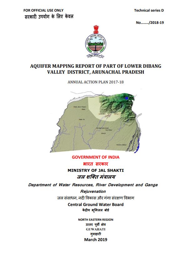
As part of national aquifer mapping programme, 434sq.km of the unconsolidated alluvial aquifer of Lower Dibang Valley district of Arunachal Pradesh was taken for study.
Download Counter = 6
An area of 1450 sq km falling in parts of Goalpara (250 sq. km), Kamrup (1030 sq km) and Barpeta (170 sq km) districts of Assam was covered as per the Annual Action Plan 2012-...
Download Counter = 4

An area of 3100 sq km falling in parts of Jorhat (1860 sq. km) and Golaghat (1240 sq km) districts of Assam was covered under aquifer mapping as per the Annual Action Plan 201...
Download Counter = 3
As per Annual Action Plan, 2015-16 of Central Ground Water Board, North Eastern Region, Guwahati has covered an area 394 sq kms of Karbi Anglong district, Assam under National...
Download Counter = 4